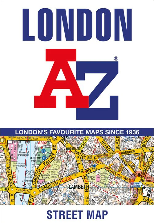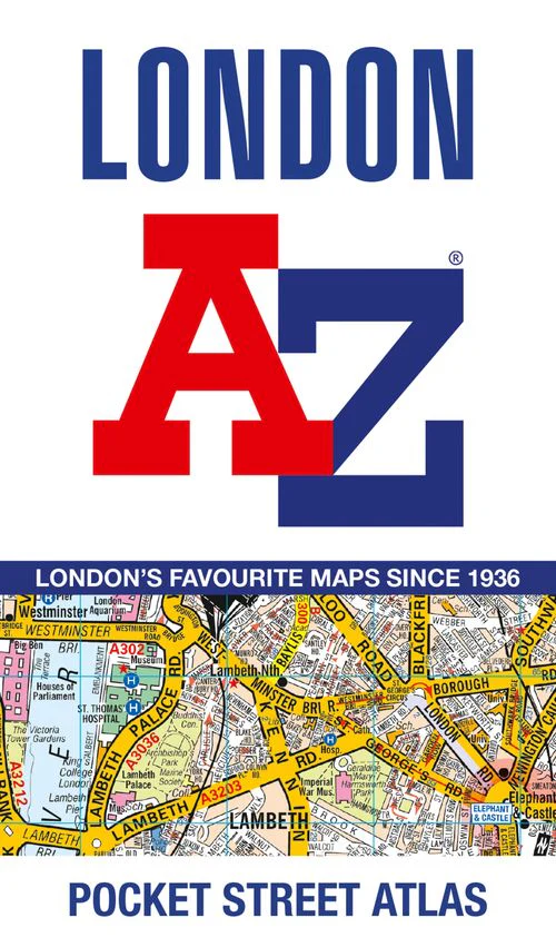
Central London A-Z Pocket Street Map: Detailed and accurate iconic street map of London
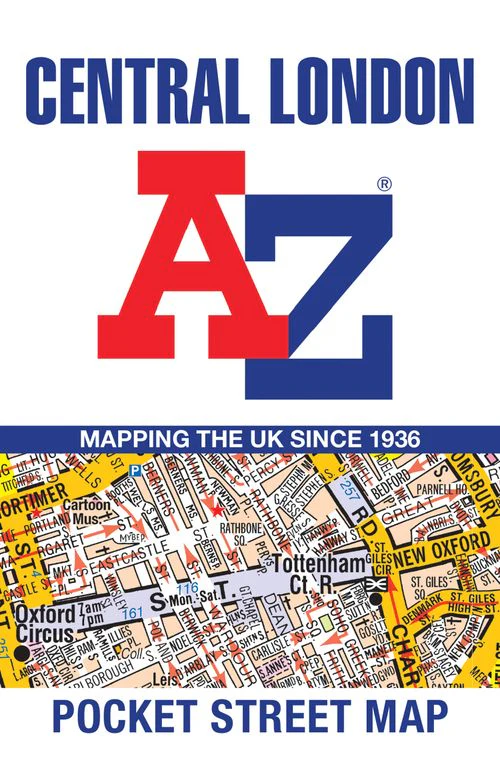
Navigate your way around Central London with detailed street maps from A-Z
This fully updated, folded map covers all of Central London, including: Regent's Park, King's Cross, The Barbican, Spitalfields, Tower Bridge, The South Bank, Waterloo Station, Westminster, South Kensington, Paddington Station and Lord's Cricket Ground.
This large scale 1 mile to 4.5 inch (1 km to 7.14 cm) street map includes the following:
• Places of interest
• One-way streets and car parks
• Index to streets, places of interest, place and area names, park and ride sites, national rail stations, hospitals and hospices
• Separate lists of streets, places of interest, cinemas, theatres and stations (which include London Underground, National Rail and Docklands Light Railway stations)
• A central London Underground Map is printed on the back cover.
The perfect reference map for finding your way around Central London.
Navigate your way around Central London with detailed street maps from A-Z
This fully updated, folded map covers all of Central London, including: Regent's Park, King's Cross, The Barbican, Spitalfields, Tower Bridge, The South Bank, Waterloo Station, Westminster, South Kensington, Paddington Station and Lord's Cricket Ground.
This large scale 1 mile to 4.5 inch (1 km to 7.14 cm) street map includes the following:
• Places of interest
• One-way streets and car parks
• Index to streets, places of interest, place and area names, park and ride sites, national rail stations, hospitals and hospices
• Separate lists of streets, places of interest, cinemas, theatres and stations (which include London Underground, National Rail and Docklands Light Railway stations)
• A central London Underground Map is printed on the back cover.
The perfect reference map for finding your way around Central London.
Original: $3.35
-65%$3.35
$1.17Description
Navigate your way around Central London with detailed street maps from A-Z
This fully updated, folded map covers all of Central London, including: Regent's Park, King's Cross, The Barbican, Spitalfields, Tower Bridge, The South Bank, Waterloo Station, Westminster, South Kensington, Paddington Station and Lord's Cricket Ground.
This large scale 1 mile to 4.5 inch (1 km to 7.14 cm) street map includes the following:
• Places of interest
• One-way streets and car parks
• Index to streets, places of interest, place and area names, park and ride sites, national rail stations, hospitals and hospices
• Separate lists of streets, places of interest, cinemas, theatres and stations (which include London Underground, National Rail and Docklands Light Railway stations)
• A central London Underground Map is printed on the back cover.
The perfect reference map for finding your way around Central London.